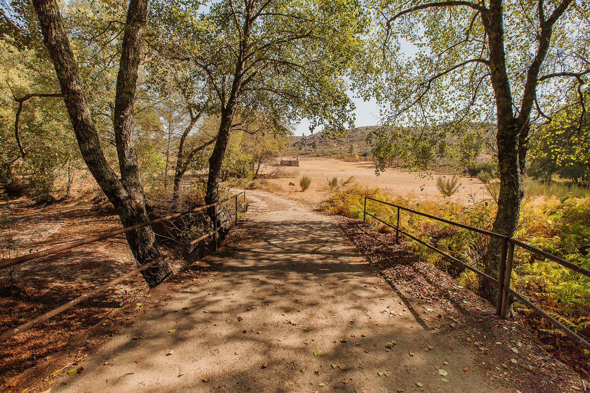
With a length of approximately 20 km, the Muxagata’s Stream runs in the southwest direction and its waters flow into the right bank of the river Mondego, in the municipality of Fornos de Algodres. In this place, the stream runs at the bottom of a flattened valley nestled between more or less abrupt rocky slopes. This particular morphology is due to the accumulation of sediments transported by the watercourse, through alluvial soils, which occurs mainly in periods of greater flow.
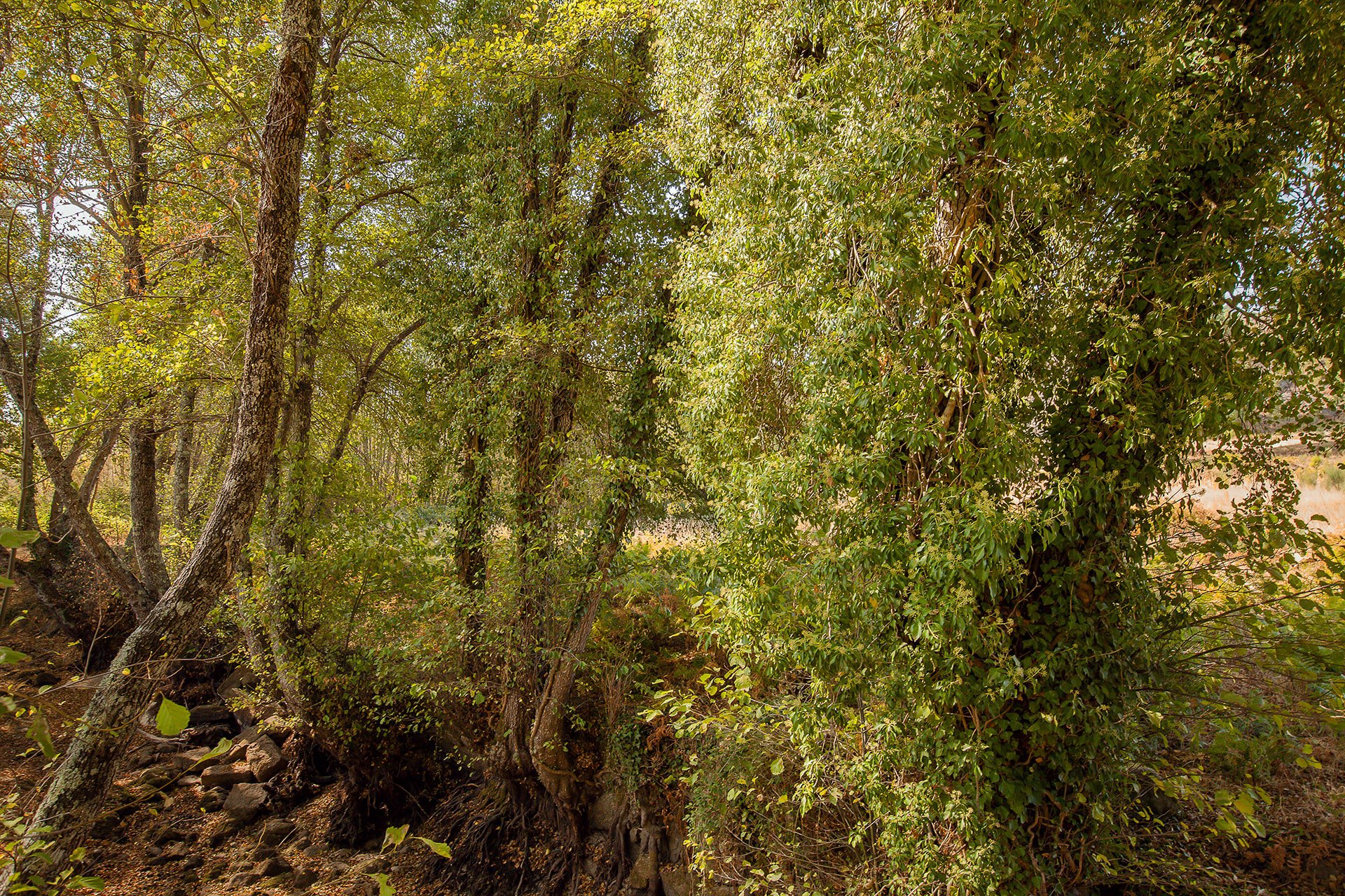
Along the watercourse a gallery of dense riverside vegetation is developed, dominated by alders, capable of supporting a diversity of fauna comparable to a hardwood forest. On the margins, the depth and fertility of alluvial soils resulted in the transformation of natural riverside forests into semi-natural meadows, presenting themselves to the grazing of flocks of goats and sheep.
The surrounding slopes are covered by large areas of brushwood and, occasionally, by black oak groves. These plant formations result from the degradation of the original oak trees and their appearance is associated with the traditional agro-silvo-pastoral activity of the region.
40.638003, -7.471767

ver mapa
Manténgase al día con las noticias y actualizaciones de Aldeias da Montanha.

 2
2


