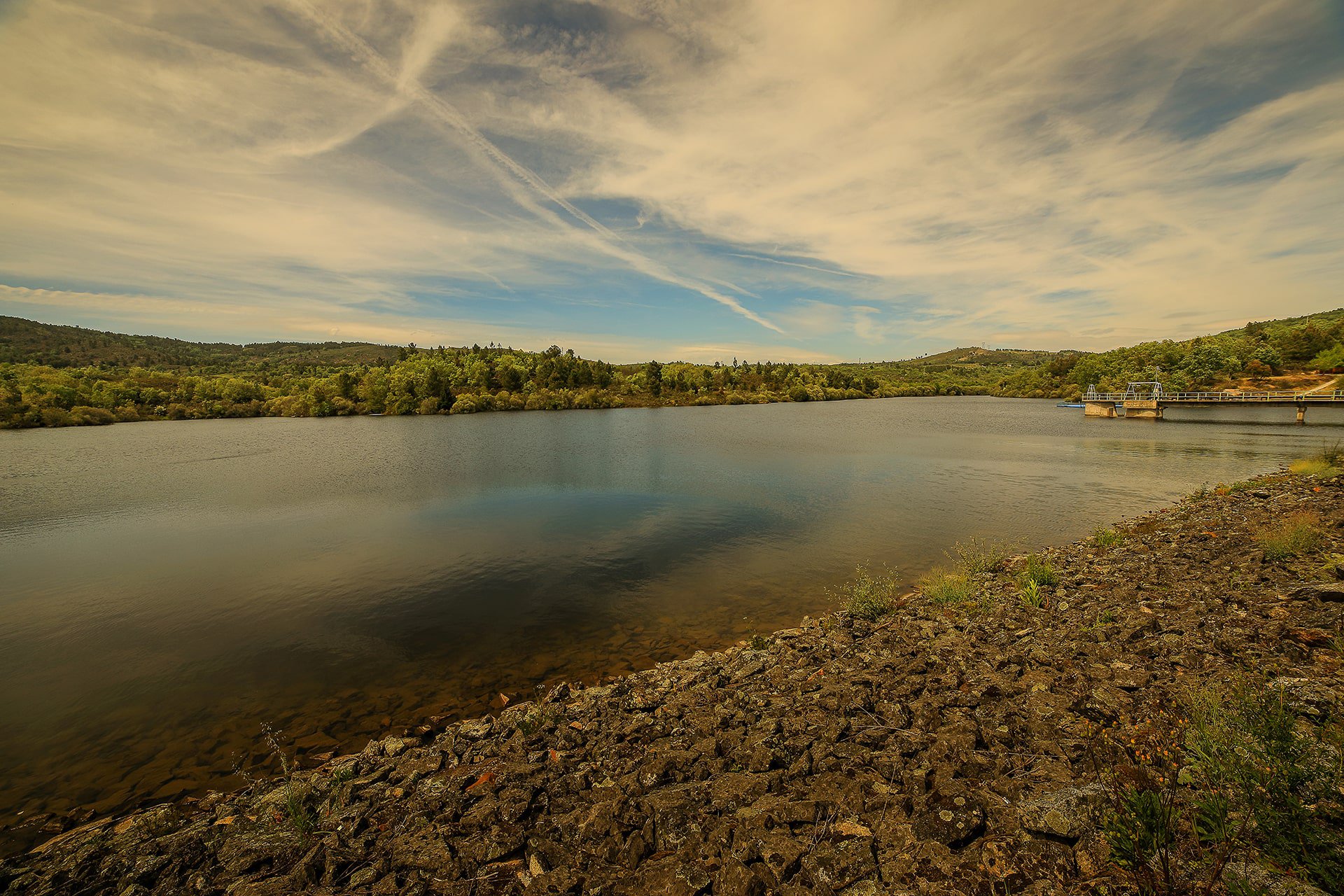
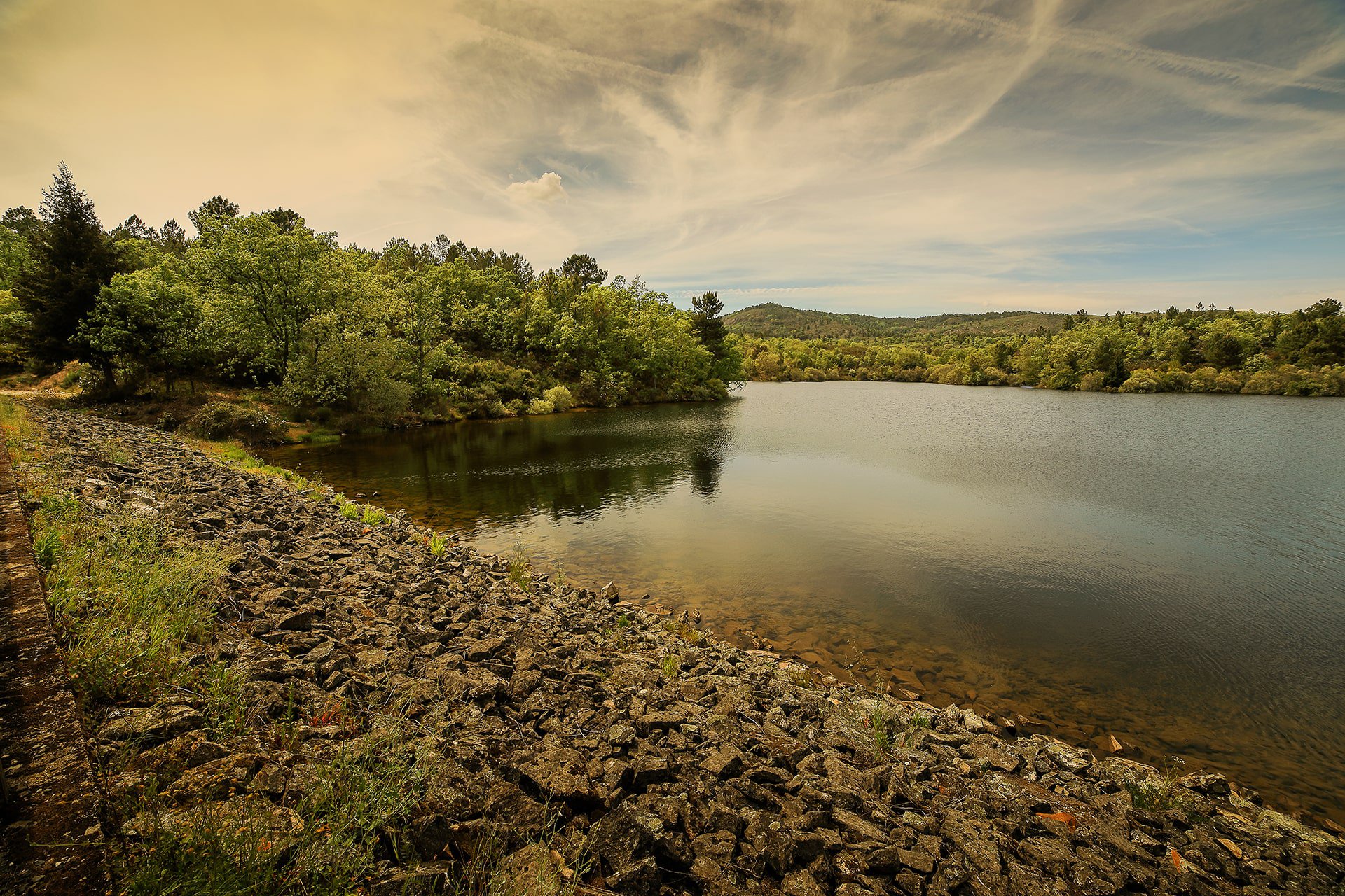
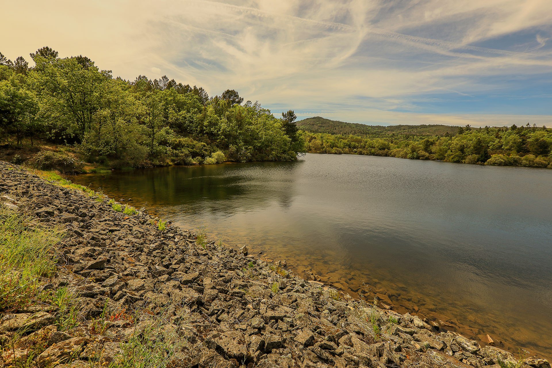
Located in the far north of the municipality of Fundão, integrates the Hydro agricultural Exploitation of Cova da Beira, having started operating in 1981. With a floodable surface at the maximum level of about 9.7 hectares, the dam develops in a valley where the Poldras stream flows, a tributary of the Meimoa stream, whose hydrographic sub-basin is inserted in the Tejo’s basin.
It is framed in Cova da Beira, a region corresponding to a tectonic depression of altitudes between 400 and 700 meters, sheltered between the mountains of Estrela, Gardunha and Malcata.
40.21525, -7.381972

ver mapa
Manténgase al día con las noticias y actualizaciones de Aldeias da Montanha.

 4
4


